A "Link" Between Gaming And Hiking...
4,238 Acres And This Is A SMALL Wilderness?
Rock Pile Mountain Wilderness holds the distinction of being Missouri's smallest wilderness area, weighing in at 4,238 acres of beautiful forest located outside of Fredricktown. The trailhead is located off of County Road 406 on Forest Road 2124 in Madison County. I can assure you, finding the trailhead for the wilderness may provide you a journey in itself! We traveled easily enough south, down Highway 67 from Fredricktown and turned right onto Highway C. Next we turned right on County Road 406, using the directions provided by the Mark Twain Forest recreational opportunity guide, however we found the very last portion of the directions very difficult to find... The left turn on Forest Road 2124. This road does NOT have a traditional style street sign, instead it is a very small, skinny, brown stake-like sign, that is off on the left side of County Road 406 by at least 5-8 yards. We passed this turn twice before finding it. Unfortunately, I didn't measure the distance, but if you turn on County Road 406 from C, it is approximately 2 miles down the dirt road and will be on your left, it does look like it is fairly well traveled.Road Conditions May Vary...
Some reports on other websites and resources put Forest Road 2124 in a nearly complete state of disrepair, some have tales of ditches large enough to swallow cars, mud so deep that the Swamp Thing dwells somewhere in their depths, and trees the size of Redwoods have fallen over the rural gravel road. When we visited on April 18, 2014 the road was in very good condition. In fact, I was a bit disappointed that the road wasn't a challenge to be overcome, I wasn't going to be able to use the drive as a badge of honor to earn. However, I will say this, I can CERTAINLY see how this road may fall into a state of utter decay, signs of downed trees did litter the ditches and clear ruts were left by water as it cascaded over the road in spots during previous rains, cutting portions of the road away. But we easily made it, in an old four cylinder, two-wheel drive RAV4, that was born in 1998. We didn't even need the extra clearance the aging RAV4 provided over a standard car on our trip. The small ruts were easily avoided and we putted right on up Forest Road 2124 to the trailhead at the top of Little Grassy Mountain.Be Sure To Bring Your Own Map.
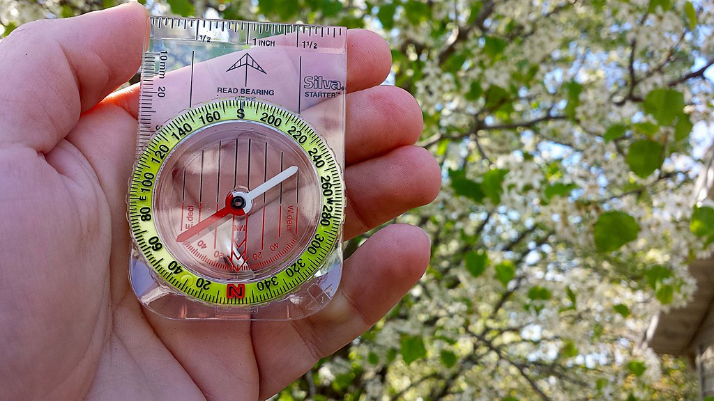
As we neared the peak of Little Grassy Mountain, we were surprised to find another car parked just off the turnaround at the trailhead. Of all the reports I had read, none had ever mentioned bumping into another hiker while out on the trail. We pulled on in next to the other car (another, far newer RAV4), parked and began to stretch our legs, exploring the trailhead and reading the postings on the information board. I filled out a quick registration card and placed it in the collection box, near the information board. Honestly, there isn't much information available at the information board, and sadly I've become used to this in the Mark Twain National Forest. Please don't take this as a "knock" against the National Parks, but I've found them to be far more lacking in upkeep than our local State Parks, perhaps it is just that the Missouri Department of Conservation (MDC) does such a fantastic job of maintaining our local parks and trails that it makes the National Parks in Missouri look worse in comparison, but that is enough of a side tangent. There are NO maps available at the trailhead information board and some information seemed to have been torn off, but as I stated before, I expected this and in anticipation of finding another mapless information board, I had printed out two copies from the internet at home, marked them both up and brought them along with a compass.Just a few steps from the information board is a great place for a photo opportunity. A large stone with Rock Pile Mountain Wilderness boldly chiseled into it just begs for you to hop in front of it and snap a selfie! However, be careful near this rock, as it seems that this trailhead may also be a popular late night spot to do a bit of "celebrating", as broken shards of glass are as plentiful here as tile in a bathroom and on the topic of bathrooms, there are no facilities here, as it is a wilderness area. Also, be especially vigilant as you explore the trailhead if you have a dog, no matter how tough their pads are, they are no match for the slivers of broken glass here. Once we snapped our photos by the rock, we unloaded our packs from the car, strapped up,and were ready to embark upon our backpacking adventure through the Rock Pile Mountain Wilderness. We caught a quick view of a pseudo rock pile in a clearing, just before reaching the official trail and that made us a bit excited to see the real rock pile, for which the mountain and the wilderness area have been named.
Into The Wilds We Go!
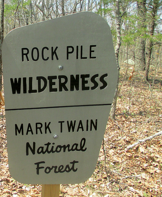
As we pass the patented National Forest sign, indicating the entrance to the Rock Pile Mountain Wilderness, the trail begins as a well worn dirt and stone trail, curving into an elongated C on our map as it winds down the Little Grassy Mountain. The "maintained" portion of the trail stretches for two miles and can be difficult to spot from time to time. As we hiked I noticed many false and game trails that lead to the east and west that could easily trick an unsuspecting hiker into following them for yards, or possibly miles. Because of all the false trails, I checked my compass frequently and compared my surroundings to the map I had packed and marked before venturing out. At approximately the one and a half mile mark on the maintained trail you reach the summit of a small hill, the rock formations and pines here provide a perfect place to take a quick rest, snatch a snack, enjoy a breeze and breathe in the lightly pine scented air. It is also a great place to find yourself veering off trail, completely by accident. It was here that we met a local hiker, out to enjoy the weather and a crisp hike through the wilderness. As we hiked, I corrected his path a few times, as he nearly went off course here at the top of the hill.We Meet Another Trekker.
Given the difficulty of being assured we were following the trail, our new found hiking partner let us in on some great bits of insight pointing out a few local landmarks by which I could triangulate myself on my map should we become very lost. In fact, on the map, as we descended down the hill, he noted the way the "maintained" trail bent, to the southeast, just before ending and then pointed at purple markings on the trees. Those purple markings indicated the private property lines of the adjacent landowners, and also provided a great way to know that we were quickly approaching the backwoods trail in less than a quarter of a mile or so. It also helped me to gather a specific measurement of how far we had hiked and the near exact point of our location on the map. He also pointed out orange blazes on trees noting they had been left there by the local fire department who had been called out to Rock Pile Mountain to rescue lost hikers the year before.Watch Out For Obstacles, Remember That Map?
 |
| Scribbling on your map is a'ok! I had to remind myself of downed trees and other landmarks. |
Remember: Getting Away From It All Is Only Fun If You Get Back...
Where we were actually at was the first of three official splits in the trail, shown on the map. Once we navigated back to our last known good location we opted to circle the downed trees to the west this time and sure enough, we were able to pick back up on the trail. With a quick check of the compass and glance at the map, we knew we were back on course to make it to the summit of Rock Pile Mountain. We were also lucky enough to spot the actual split, buried under a few trees, marked by an aged fence post with a rock set atop it. Although we would not see our local hiking companion again, we would spot evidence of his trail as we continued.I've Never Been Happier To See A Color.
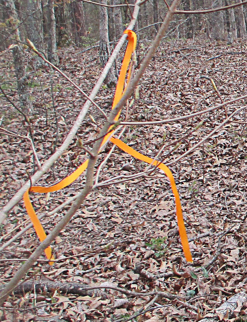 |
| My new favorite color! Follow Me Orange. |
Our Final Destination And A Possible Ancient Relic.
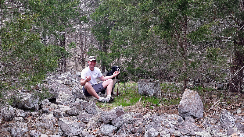 |
| Finding a spot of enlightenment and my center, in the Rock Pile. |
Overall Thoughts: I LOVE This Place.
Overall, our hike to Rock Pile Mountain was fantastic. We could not have asked for a better day and botanists would fall in love with the variation in local trees here; as the wilderness supports basswood, butternut, Kentucky coffee tree, walnut, sugar maple, and magnificent white and red oaks. If you find yourself hiking in Spring, as we did, you'll also notice as you near the man made ponds the sing-songs of frogs as they serenade in hopes of a mate. Evidence of white-tailed deer, turkey, and other large game abound, we spotted many tracks for the deer and heard them as they escaped, just out of view, on our return hike. Another thing to watch out for, although we found no tracks or evidence, are black bears. There have been quite a few spotting of these bears in the Rock Pile Mountain Wilderness, so please keep this in mind, particularly if you are camping in the area as you should suspend your food items in a bear bag, high in a tree. The last thing you would want during a wonderful camping trip would be a humongous hairy camp crasher.Keep In Mind: I'm A Wilderness Fan-Boy...
I'll admit, I'm partial to wilderness areas. I enjoy the relative solitude, the complete lack of crowds and the feeling of truly being alone and yet one, with nature. The lone hiker we encountered was the solitary exception to the general experiences I've had in the Missouri and Illinois wilderness areas and the other hikers (remember the newer RAV4 at the trailhead?) we never spotted, and once our traveling companion went out of sight at the downed trees, we never spotted him again either. In our wilderness areas I find that the birds sing a bit bolder, nature takes an extra second before darting for cover, the general fresh air seems fresher, and Rock Pile Mountain Wilderness was certainly no exception. I can't recommend this area enough if you're looking to get away for a day hike or if you're planning a remote backpacking trip, just don't forget to print a map and take a compass. Remember, GPS devices may run out of battery, so if you're using one be sure to bring extra batteries. In fact, that is the reason that I did not take many pictures during our visit here, I had reserved my phone for an emergency only, turning it off as we hit the trail in order to conserve all battery life. I hope you decide to visit this great wilderness area, I'm sure you'll enjoy it just as much as we did!One Last Thing...
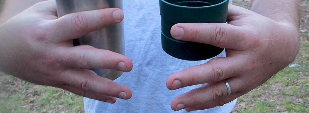
All packs are not created equal. One thing to keep in mind, if you are back packing like we did, keep your load light and properly adjusted or, well, there's a picture below. My fingers became pretty swollen due to hiking with too much weight on my shoulders and not enough on the hip belt. Hopefully you'll get as big of a snicker at this as my wife did... Happy trails to you!More Information:
Local Treks on facebookMark Twain National Forest: Rock Pile Wilderness
Rock Pile Mountain Wilderness on Wilderness.net
Mark Twain National Forest Brochure of Rock Pile Mountain Wilderness (with trail map)
Mark Twain National Forest Recreational Opportunity Guide for Rock Pile Mountain Wilderness (with trail map and driving directions as well)
Official USGS Rock Pile Mountain Quadrangle Map (use with the trail maps above)
- Note the USGS map above is a HUGE file and in pdf format.
Wilderness Areas: Let's Get WILD! (post on wilderness manners and what to expect in a wilderness)
The Official USGS Maps Page (helpful for all types of maps, and FREE!)
Tiny. Tenacious. Terrible. Ticks. - A post on how to keep those bloodsuckers at bay!
How To Take A GREAT Day Hike
Coordinates:
Trailhead GPS Location: 37°27.811' N, 90°24.311' W (taken with Samsung Galaxy S4)
Rock Pile GPS Location: 37°25.222' N, 90°25.199' W(taken with Samsung Galaxy S4)
