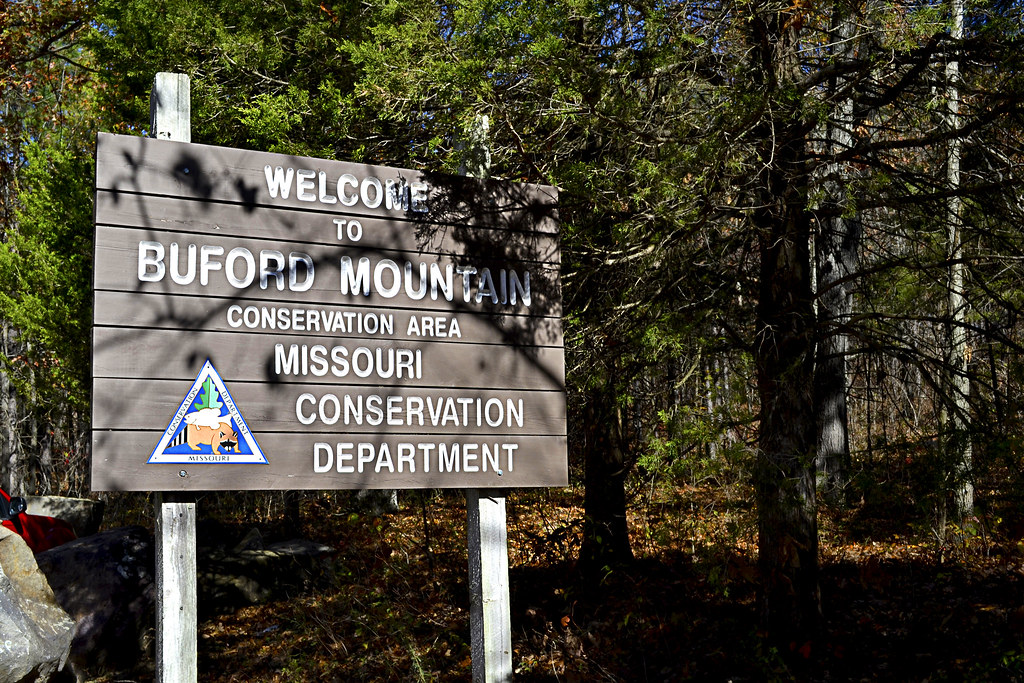
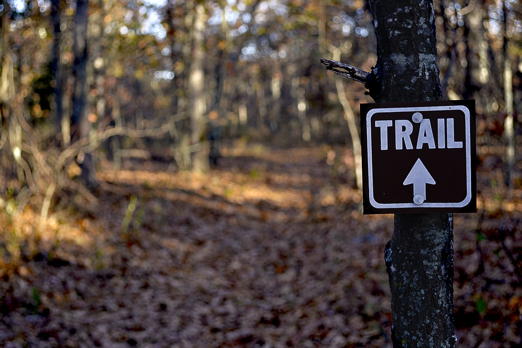
In today's world it seems nearly everything moves fast and sometimes it may seem to move too fast. The week may speed by in a blur, leaving you to wonder... What did I do this week? What did I accomplish? Where are my keys? After a week like this, it's time to slow down. Way down. I just so happen to know that Buford Mountain Conservation Area is an extraordinary place to do it, and I will assure you, when you've finished the 10.6 mile loop you'll know what you did, what you accomplished, but your keys... Well, that's on you.
The (3rd) Top of Missouri: Big Buford
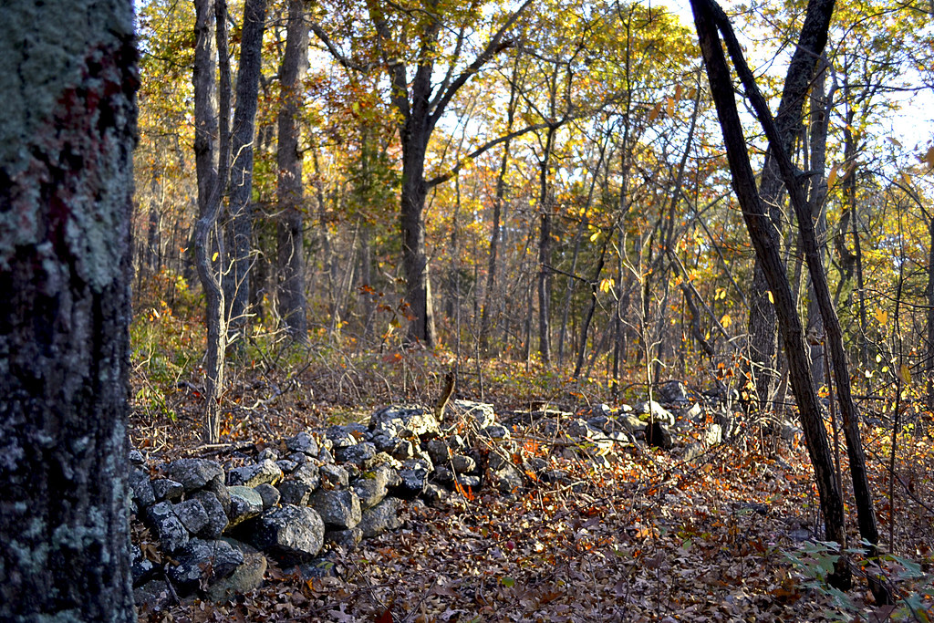 |
| Keep an eye out for this low stone wall as you scale Big Buford. |
The "Moonscape": Peak Two
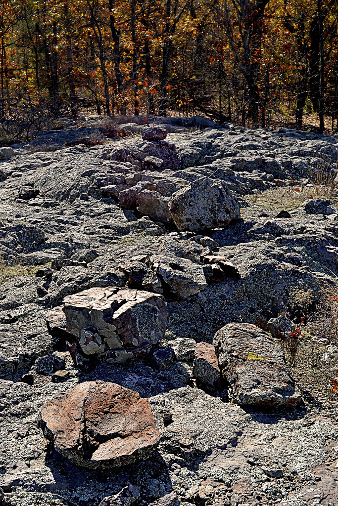
As you make your way toward the spectacular view at Bald Knob, you will first make your way over two more peaks and these aren't just "hike over" territory either. As you make your way down from Big Buford, keep your eyes open for the first of six wildlife watering holes which line this trail, placed there due to the lack of any real natural water source in the area. As the trail begins to once again gain elevation, you will find yourself near the second overall peak on the trail. It is here that the dense hardwood begins to make way for a very interesting formation of rock. It is here, at a touch over 1680 feet in elevation that the hardened granite stone of which the mountain is primarily composed of, known as ryholite, is completely exposed giving you access to your first encounter with one of a few "glades" located on the trail's route. It is this exposure that gave me a sense of what it must feel like to hike a bit on the moon, there is little vegetation, save for some lichen and moss growth upon the smooth stone floor, and I watched as the fall foliage, free from their tree moorings, swept across the desert like surface. I spent a few minutes here, one due to it being so beautifully stark and two... Well, I was a bit tired, that was two peaks one at 1740 and this one at 1680, in the span of about a mile.The Fork: Peak Three
As you start descending from the "moonscape" second peak, you'll make your way past another wildlife watering hole and find yourself climbing back to around 1600 feet, by now I hope you've realized this trail is a quad burner. This third peak is similar to what you found at the top of Big Buford, a fairly heavily wooded peak with some large rocks scattered here and there. As you crest this third peak, you will soon find yourself at a fork in the trail that marks the beginning of the Buford Mountain loop. It is at this junction that you can continue left (Northwest) and head to Bald Knob or right (Northeast). Most visitors certainly bear on to the left trail and make their way toward the gorgeous view from Bald Knob, and that is the way I took. The trail is marked with directional arrows at this point too, although they may be somewhat obscured by forest growth. I'll be honest with you here as well, many hikers do not take the full 10.6 loop hike at Buford Mountain, many hike to Bald Knob and back, putting the total mileage at closer to 6.6 miles, which is still a pretty decent hike.The View: Bald Knob
As you begin your climb up the fourth peak, you can begin to cue "Miles and Miles", because the forest canopy begins to quickly thin, and you enter another beautiful glade area as you near the top of Bald Knob. But, before you get to the official scenic overlook, you may find a less worn trail that leads off slightly to the West, following that faint trail led me to a wonderful appetizer of a view of the Belleview Valley below, complete with a small fire pit and boulders to perch upon. In fact, I thought I had stumbled upon the official Bald Knob view here and took a TON of pictures, not realizing that the actual infamous vista was really a few more yards to the North.
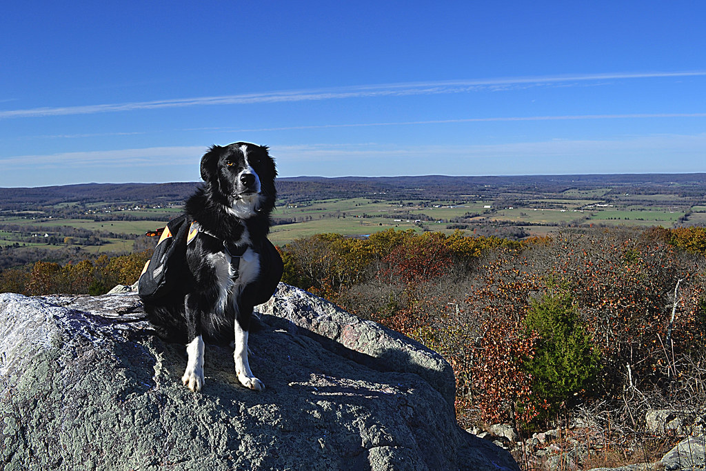 However, if you decide to stick to the main trail only, don't be worried, as you approach Bald Knob you will once again begin to real Bald Knob overlook. It is at this overlook, at this time, no doubt with "Miles and Miles" playing softly through your earbuds, that you will be granted one heck of a view. A view that stretches over miles of the Belleview Valley will sprawl below you and if you've made this trek in late October you nay be treated with the brilliant fall pallet of oranges, reds, tans, and violets of the foliage. Quite simply THIS is the view you are looking for, and it is gorgeous. The overlook comes complete with a "posing" boulder, which will allow you to gain even a bit more elevation from which to survey your new kingdom from 1560 feet above sea level and maybe even snap a selfie or two. Even my hairy hiking buddy, Hyatt, had to get in on the view, he perched on the boulder, flashed me a toothy smile and I just had to take his picture...
see markers and signage. In fact, there is a rather large sign, complete with arrow that directs you quite well to just the right spot to take it all in.
The Rest: Peak Five & The Valley
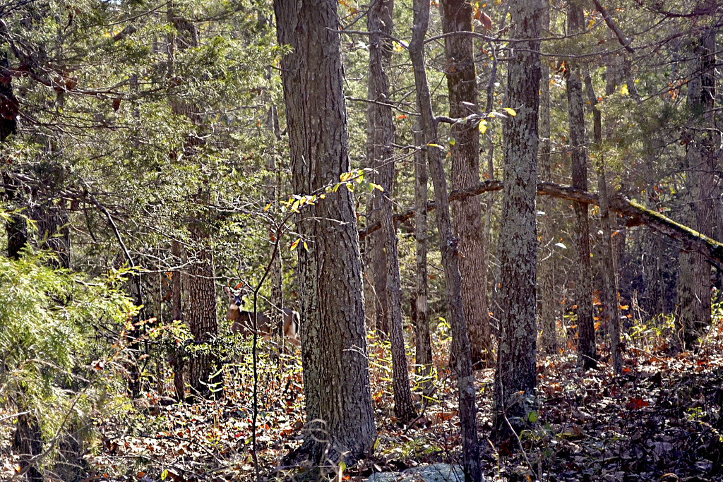 |
| Can you spot the 4-pointer? |
As I made my way through the valley, I concentrated on just taking it slow and taking it all in. Then, I came to notice a great deal of wildlife activity around me. Squirrels twittered at me from their lofty tree homes, I heard turkeys clucking in the distance and I was even lucky enough to happen upon a small four-point buck who was out grazing the plentiful acorns as noon neared. Which brings me to a quick warning, the MDC does allow hunting in this area, particularly hunting of squirrel, turkey and deer, so please be aware of any possible Missouri hunting seasons as you may want to postpone your hike or tread a bit more carefully and brightly than usual at those times.
Directions:
More Information:
Local Treks on facebookMy Buford Mountain Flickr Album: More snaps from my hike through the area
Buford Mountain Conservation Area Summary Page: MDC Information
Buford Mountain Area Map: Provided by the MDC
Buford Mountain Area Information: Provided by the MDC
